Web GIS Developer Course - Information, Fee, Syllabus.
Value Addition Course
Offline
Online
Duration: 6 months
Web GIS Developer Course Information
Course Title: Developing GIS portal with Open Source
Duration: 6 months
Training Modes: Online/Offline/Hybrid | Part-time/Full-time
Timing: 4 days a week, 3 hours a day
Web GIS Developer Course Eligibility
- Should have programming experience in HTML, CSS, Java Scripts
- Knowledge of QGIS
- Understanding of GIS fundamental concepts
Web GIS Developer Course Overview
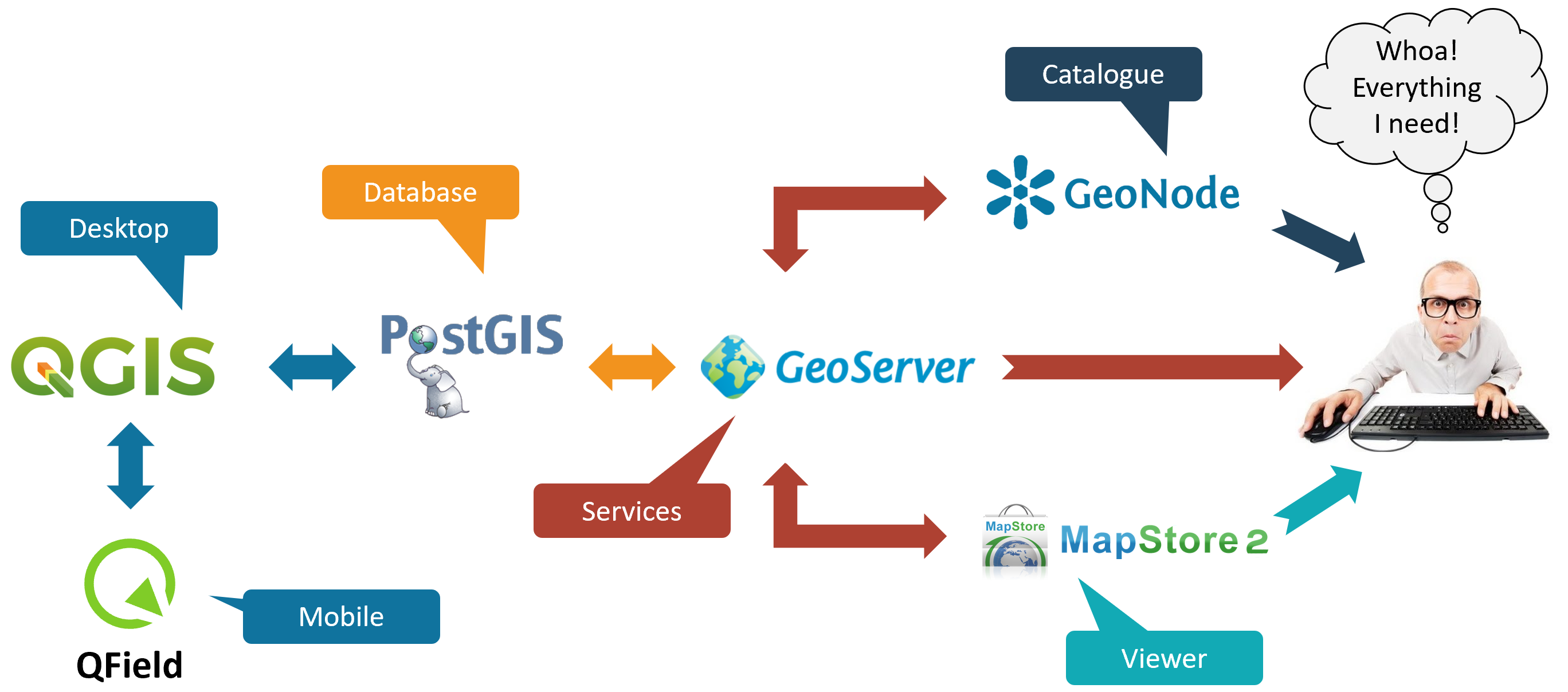
This course teaches you how to build GIS web portal using open source GIS end to end solutions. Includes open source GIS software including QGIS, PostGIS, GeoServer, and OpenLayers which all together can deliver the complete GIS solution. OpenLayers makes it easy to put a dynamic map in any web page. It can display map tiles and markers loaded from any source. OpenLayers has been developed to further the use of geographic information of all kinds. Attendees will learn how to create browser-based map applications and display data from a variety of sources. Basic JavaScript syntax will be covered. In GeoServer attendees will learn how to load, publish, and share geospatial data with GeoServer. Discussion will include navigating the GeoServer user interface, OGC web services, styling data with SLD, and tile caching with GeoWebCache.
In PostGIS, attendees will learn about and create spatial databases, load data from a variety of sources into a spatial database, and perform queries against the data. Basic SQL syntax will be covered.
Modules covered in Web GIS Developer Course
- Working with Postgres, PostGIS, pgRouting
- Introduction to GeoServer
- Development Web portal with OpenLayers API
Softwares taught in Web GIS Developer Course
- GeoServer
- OpenLayers API
- PostGRES
- PostGIS
Technologies included in Web GIS Developer Course
- GIS
- WebGIS
- RDBMS

