LiDAR Training - Information, Fee, Syllabus.
Value Addition Course
Offline
Online
Duration: 40 hours
LiDAR Training Information
Course Title: Working with LiDAR Data
Duration: 40 hours
Training Modes: Offline/Online/Hybrid |Full Time/Part-time
Timing: Min 3 hours/day | Max 8 hours/day
LiDAR Training Eligibility
- Knowledge of GIS concepts
- Understanding of isometric and orthographic views will add benefits
LiDAR Training Overview
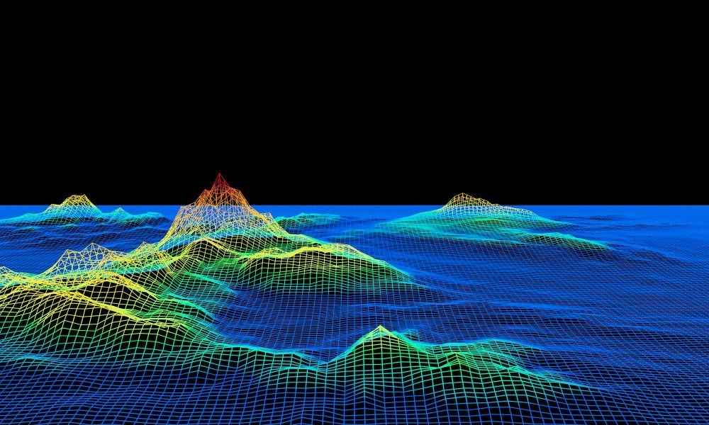
In India and Asian countries LiDAR technology is emerging and being employed extensively. LiDAR can be used for mapping urban areas, rapid surveys, building 3D city models, monitoring infrastructure projects, mining etc. Skilled map power on LiDAR data processing has huge demand in India. LiDAR skills can be employed or has job opportunities in building construction, infrastructure development, archology, heritage preservation, agriculture and may other sectors. LiDAR training will be useful for land surveyors of sensors like DJI Zenmuse L, Rigel LiDAR, ALTM Galaxy T1000, AlphaAir for land surveying applications.
This LiDAR training course on teaches the fundamentals concepts of Airborne LiDAR technologies for land surveying along with hand on exercise on software tools. This includes Principles, Laser physics, Operation, Data formats, Modern trends, Applications, Error analysis, Data processing concepts and issues, Information extraction, feature extraction, Integration with spectral data, and 3D city model generation. Practical assignment covers data format conversion, visualization, accuracies, point classification, error analysis, DEM generation, contour generation, feature extraction like building, powerline and trees, and Integration of LiDAR.
Topic covered in LiDAR Training
- Work with Spatix tools
- Describe concepts of LiDAR data, how it works
- Enumerate various applications of LiDAR surveying
- Describe the procedures of LiDAR data collection
- Understand various LiDAR sensors available in Indian market with its specification
- Describe characteristics of photogrammetric vs LiDAR point cloud data
- Visualise the point cloud in different interactive ways
- Describe accuracies and errors in LiDAR data output products like DSM, DTM
- Use feature interpretation and extraction technics
- Understand common problems in classifying ground, restoration methods, noise removal methods. Usages of macros for automation
- Classify point cloud using automatic and manual methods
- Identify, Classify and extraction feature like building, powerline, trees, water bodies, vegetation classification, road, bridge, culvert etc
- Create the surface model and edit the surface
- Create digital elevation, digital terrain models
- Create topographical contour using ground point cloud
Softwares taught in LiDAR Training
- Microostation
- Terra Tools
Technologies included in LiDAR Training
- GIS
- LiDAR