GIS Course - Information, Fee, Syllabus.
Job Oriented Course
Offline
Online
Duration: 3 months
GIS Course Information
Course Title: Geographic Information System
Duration: 3 months
Training Modes: Online/Offline/Hybrid | Full-time/Part-time
Timing: 4 days a week, 3 hours a day
GIS Course Eligibility
- Graduate or above from any stream
- Diploma from any branch
- ITI from any trade
- 1+ year experience in related field
- Must have knowledge of computers
GIS Course Target Job Roles
GIS Technician
GIS Operator
GIS Surveyor
GIS Executive
Career Opportunities and Scope
is in the field of Urban Planning, Land Records, Utilities, Environment.
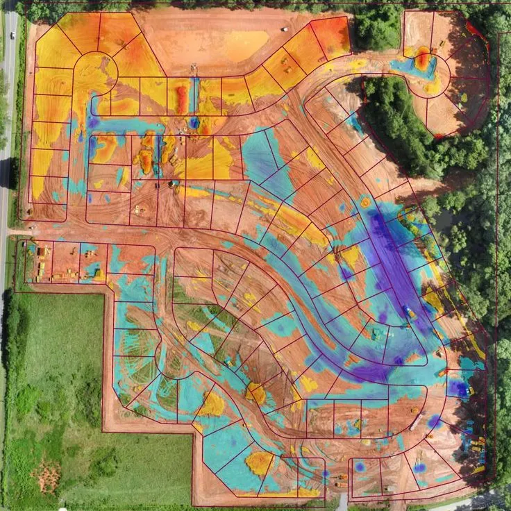
GIS Course Overview
A Geographic Information System (GIS) integrates hardware, software, and data for capturing, managing, analyzing, and displaying all forms of geographically referenced information. GIS has vast applications. Complete life cycle has some or big scope of GIS and GPS. Indian geospatial industry has huge need of skilled man power on GIS and GPS. This course will help you to secure GIS job in urban planning, environment management, precision agriculture management, water resource planning, utility planning and maintenance and land records at entry level position.
In this training, you will learn GIS concepts including spatial data structures, data sources and transfer methods, projections and coordinate systems, geo-referencing, metadata, supporting software, global positioning system (GPS), as well as fundamental spatial analysis techniques such as overlay, extraction. Concepts presented in lecture will be put into practice through hands-on laboratory exercises utilizing the best GIS software.
Modules covered in GIS Course
- Geographic Information System
- Working with QGIS
- Introduction to Surveying Technologies (Total Station, GPS/GNSS, Drone)
- Data Collection for GIS with GPS/GNSS
- Working with AutoCAD
- Working with AutoCAD Map 3D
- Working with ArcGIS Desktop
- Working with Google Earth Pro
Softwares taught in GIS Course
- ArcGIS Desktop
- QGIS Desktop
- GPS/GNSS
- AutoCAD
- AutoCAD Map 3D
- Google Earth Pro
Technologies included in GIS Course
- GIS
- GPS/GNSS
- Surveying