Pix4D Training - Information, Fee, Syllabus.
Value Addition Course
Offline
Online
Duration: 24 Hours
Pix4D Training Information
Course Title: Working with Pix4D
Duration: 24 Hours
Training Modes: Offline/Online/Hybrid |Full Time/Part-time
Timing: Min 3 hours/day | Max 8 hours/day
Pix4D Training Eligibility
- Basic knowledge of windows operating system
- Knowledge of GIS, Mapping, GPS and Drone Surveying Concepts
Pix4D Training Overview
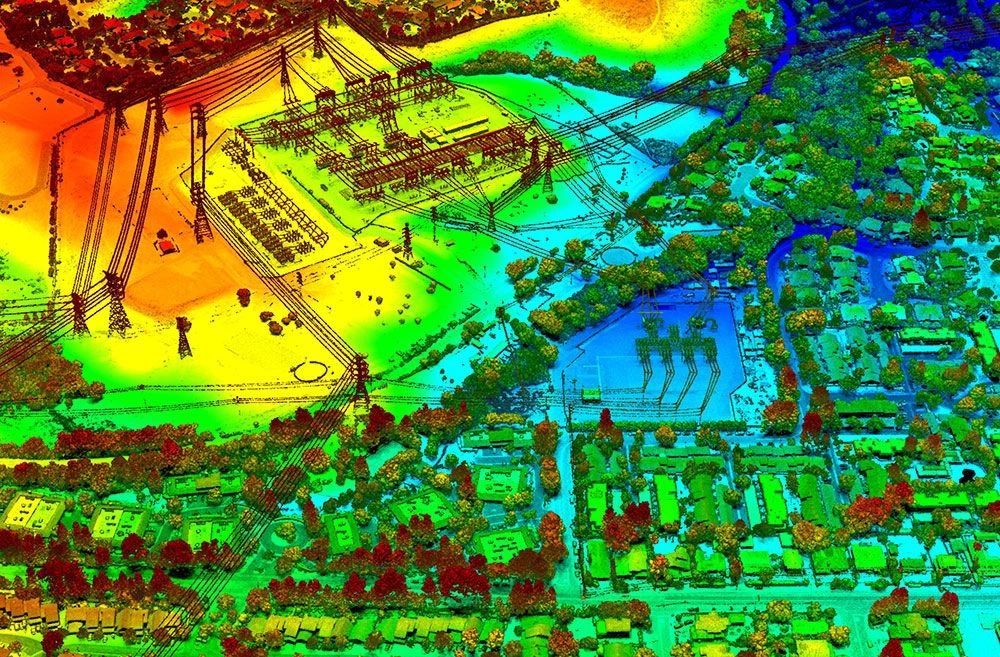
Pix4D is a leading software in unmanned aerial system (sUAS or "drone") photogrammetry, building software that enables users to analyze complex image data and create orthomosaics and 3D models, all from photographs. With a drone, a camera, and the powerful processing engine in Pix4D, the science of photogrammetry is accessible to just about anyone.
Course designed for land surveying professionals. This training course will teach you how to process drone surveying data, RTK/PPK and non RTK drone data in Pix4D and produce traditional surveying like contour, volumes, plan table survey map outputs along with DEM, point could.
Topic covered in Pix4D Training
- Introduction to Photogrammetry
- Coordinate system and data conversion
- Processing Step 1 Initial Processing, matching calibration, quality report, GCP consideration
- Processing Step 2 Point Cloud & Mesh
- Processing Step 3 DSM, Orthomosaic and Index
- Editing the Point Cloud, Volume Calculations, Scale Constraints and Orthomosaic editing
- Visualize and manipulate Pix4D output in other surveying software’s tools
Softwares taught in Pix4D Training
- Pix4D
Technologies included in Pix4D Training
- Pthogrammetry
- LiDAR