Advance Geoinformatics Course - Information, Fee, Syllabus.
Job Oriented Course
Offline
Duration: 12 months
Advance Geoinformatics Course Information
Course Title: Advance Diploma in Geoinformatics
Duration: 12 months
Training Modes: Offline | Full-time
Timing: 4 days a week, 3 hours a day
Advance Geoinformatics Course Eligibility
- Any Graduate or above from stream scored higher than 50%
- Must have knowledge of computers
Advance Geoinformatics Course Target Job Roles
GIS Technician
GIS Operator
GIS Surveyor
GIS Executive
GIS Analyst
Remote Sensing Executive
Drone Data Analyst
LiDAR Engineer
LiDAR Technician
Geoinformatics Expert
Enterprises Geodatabase Administrator
Python Developer
Career Opportunities and Scope
is in the field of Urban Planning, Land Records, Utilities, Environment.
Advance Geoinformatics Course Overview
Diploma in Geoinformatics course is uniquely designed, consist of multi-disciplinary modules with project work. Covers all required skills for GIS, Remote Sensing, LiDAR, Photogrammetry and python scripting for automation in industry for various sectors. Multi-disciplinary helps participant to switch and retain jobs for better future prospective. Emphasis more on industry required skills hence strengthen job opportunities. These technologies are employed in project like DILRMP and NUIS.
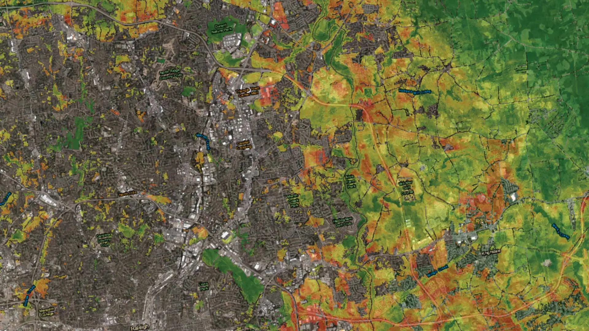
A geographic information system (GIS) provides the ability to capture and analyze spatial and geographic data. GIS applications (or GIS apps) are computer-based tools that allow the user to create interactive queries (user-created searches), store and edit spatial and non-spatial data, analyze spatial information output, and visually share the results of these operations by presenting them as maps. You will learn how GIS utilized in various operations and numerous applications that relate to: engineering, planning, management, transport/logistics, and insurance, telecommunications, business, and location intelligence applications with GPS/GNSS.
Remote sensing is the acquisition of information about an object or phenomenon without making physical contact with the object and thus in contrast to on-site observation, especially the Earth. Remote sensing is used in numerous fields, including geography, land surveying and most Earth science disciplines (for example, hydrology, ecology, meteorology, oceanography, glaciology, geology); it also has military, intelligence, commercial, economic, planning, and humanitarian applications. Course will teach you from fundamentals of Remote Sensing, pre and post processing, data sources, image classification, different indices and their interpretations.
Photogrammetry is the science and technology of obtaining reliable information about physical objects and the environment through the process of recording, measuring and interpreting photographic images and patterns of electromagnetic radiant imagery and other phenomena. Photogrammetry is used in 3D City modelling, DEM creation, ortho-photo generations.
LiDAR is a method for measuring distances (ranging) by illuminating the target with laser light and measuring the reflection with a sensor. Differences in laser return times and wavelengths can then be used to make digital 3-D representations of the target. It has terrestrial, airborne, and mobile applications.
Advance Spatial Analysis, modelling and Scripting skills broaden user vision and allows to imagine automation scope in various GIS operations and productions work. Using python scripting user can also extract intelligence statistics for reporting or further uses.
Modules covered in Advance Geoinformatics Course
- Geographic Information System
- Working with QGIS
- Introduction to Surveying Technologies (Total Station, GPS/GNSS, Drone)
- Data Collection for GIS with GPS/GNSS
- Working with AutoCAD
- Working with AutoCAD Map 3D
- Working with ArcGIS Desktop
- Working with Google Earth Pro
- Adv. Spatial Analysis (3D, Network, Hydrology)
- Working with ArcGIS Pro
- Scripting with Arcade
- Working with Erdas Imagine
- Project Work 1 GIS, RS & Adv. Spatial Analysis
- Working with Pix4D
- Working with Drone Deploy
- Working with Agisoft
- Working with LiDAR Data
- Project Work 2 Adv Surveying & Mapping
- Working with GeoServer/Client
- Enterprises GIS - PostGRES SQL/PostGIS
- Introduction to ArcGIS Online
- GIS Modelling
- Programming with Python in ArcGIS (ArcPy)
- Google Earth Engine
- Project work 3 WebGIS & Customization
Softwares taught in Advance Geoinformatics Course
- ArcGIS Desktop
- QGIS Desktop
- GPS/GNSS
- AutoCAD
- AutoCAD Map 3D
- Google Earth Pro
- ArcGIS Pro
- ArcGIS Online
- Erdas Imagine
- Pix4D
- Drone Deploy
- Agisoft
- Microostation
- Terra Tools
- GeoServer
- PostGRES SQL/PostGIS
- Google Earth Engine
Technologies included in Advance Geoinformatics Course
- GIS
- GPS/GNSS
- Surveying
- Remote Sensing
- Photogrammetry
- LiDAR
- WebGIS Server/Client
- Enterprises GIS/SQL
- GIS Programming