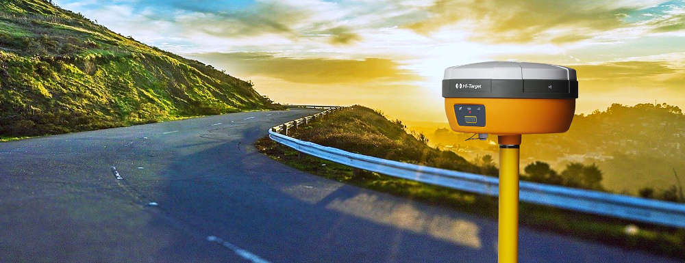
DGPS Training - Information, Fee, Syllabus.
Value Addition Course
Offline
Duration: 2 days
DGPS Training Information
Course Title: Surveying with GNSS
Duration: 2 days
Training Modes: Offline | Full-time
Timing: 4 hours/day
DGPS Training Eligibility
- Knowledge of fundamental of surveying
- Total Station surveying knowledge will be added advantage
- Land Surveyors
- Engineers / surveyors / planners who want to understand or perform GNSS (GPS/DGPS) surveying
DGPS Training Overview
There are lot of application of GNSS, also called as GPS / DGPS in surveying and infrastructure development and monitoring. Best suits for Land Surveying professionals and businessman to upgrade their skills and business to capture advance surveying job, tenders.
This course is designed to develop skills and solid understanding of GNSS surveying for the surveyors. This includes static, RTK, control surveying with GNSS technology. This module is very useful for surveyors who are new and even experienced in GNSS surveying and want to upgrade their skills for better prospective.
You will learn in DGPS Training
- Explain what is GNSS and how it works?
- Describe the type of GNSS like GPS GLONASS, Beidou, Compass and Navic/IRNSS
- Errors in GNSS measurement and how to avoid those errors
- Applications of GNSS together with GIS
- Understand how D-GNSS calculate the position? and error in D-GNSS/DGPS positioning
- Understand how D-GNSS/DGPS correct the position & positioning accuracy
- Answer why D-GNSS/DGPS post processing is required to improve surveying accuracy
- Explain expects in positioning using Coordinate System, Map Projection and Geoid
- Describe D-GNSS/DGPS surveying methods, accuracy and their applications in Land Surveying and mapping
- Perform data post processing of Static, PPK and Stop & Go surveying
- Understand processing outcome and their accuracy
- Use Survey of India CROS base station data in your survey site
- Make use of Survey of India post processing services
- Perform Control Surveying and GCP Collection for Drone surveying using Static surveying method
- Perform topographic survey using RTK, PPK and Stop & Go surveying method
- Perform Stake-out for alignments, land parcels and others
- Share GNSS surveying data in various format like csv, dwg, kml, shp
- Understand survey grade GNSS receiver specification, most popular GNSS brands available in India and their cost
- Understand Scope of Work, its estimation by going through some sample real time tenders
Softwares taught in DGPS Training
- DGPS Post-Processing Software
Technologies included in DGPS Training
- GPS/GNSS
- Land Surveying

